Search results for about
The Government Geography Profession is made up of over 1,200 professional geographers which include various job roles in the Analysis Function career framework, and those with a background in geography who apply geographic principles in wider roles. Our expertise covers the full breadth of our discipline and our members are located …
The 2021 Geography in Government Awards opened for nominations in January, seeking examples of excellence in geography across the range of disciplines and organisations. The awards are now in their third year, and all the judges were impressed by the …
A key moment in any Government Geographer’s calendar is the annual Geography in Government Conference, which sees colleagues networking across government for professional development and sharing best practice. The December 2020 conference ran over the course of a week, bringing …
Following a competition, the Government Geography Profession launches its new logo and branding. We hear from Sarah Cashon, designer of the new logo, on the inspiration behind her design. "My name is Sarah Cashon and I have worked at …
We are now in our third year of the Government Geography Profession's Geography in Government awards. Time has gone quickly! I have been so impressed with the range and quality of the nominations we have received in the last two …
The Civil Service Environment Network The Civil Service Environment Network (CSEN) was created as a space for all civil servants, regardless of background or role, to share and build knowledge and capability in environmental policy. In one short year, we …
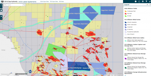
A new interactive mapping application that reveals the location of every energy-related site in the UK Continental Shelf (UKCS) is expected to bring real benefits for exploration and the search for carbon storage locations. The game-changing app shows the proximity …
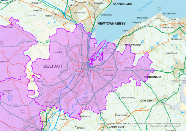
Ordnance Survey Northern Ireland (OSNI) were tasked by the Department of Health to identify all postcodes within COVID-19 restricted areas for the creation of new legislative regulations for Northern Ireland. Localised restrictions were being brought in as a response to …
Shortlisted nominees for the 2020 Geography in Government awards have been announce. For “Operational Delivery” the nominees are Homes England, Land and Property Services (Northern Ireland) and the Oil and Gas Authority.
Shortlisted nominees for the 2020 Geography in Government awards have been announce. For “Advancing geospatial data science” the nominees are Environment Agency, the Geography Team (Office of National Statistics) and the Data Science, Engineering and Remote Sensing Teams (UK Hydrographic Office).


