Impact
A key moment in any Government Geographer’s calendar is the annual Geography in Government Conference, which sees colleagues networking across government for professional development and sharing best practice. The December 2020 conference ran over the course of a week, bringing …
Following a competition, the Government Geography Profession launches its new logo and branding. We hear from Sarah Cashon, designer of the new logo, on the inspiration behind her design. "My name is Sarah Cashon and I have worked at …
We are now in our third year of the Government Geography Profession's Geography in Government awards. Time has gone quickly! I have been so impressed with the range and quality of the nominations we have received in the last two …
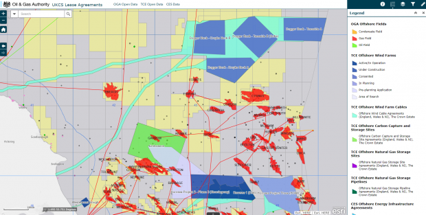
A new interactive mapping application that reveals the location of every energy-related site in the UK Continental Shelf (UKCS) is expected to bring real benefits for exploration and the search for carbon storage locations. The game-changing app shows the proximity …
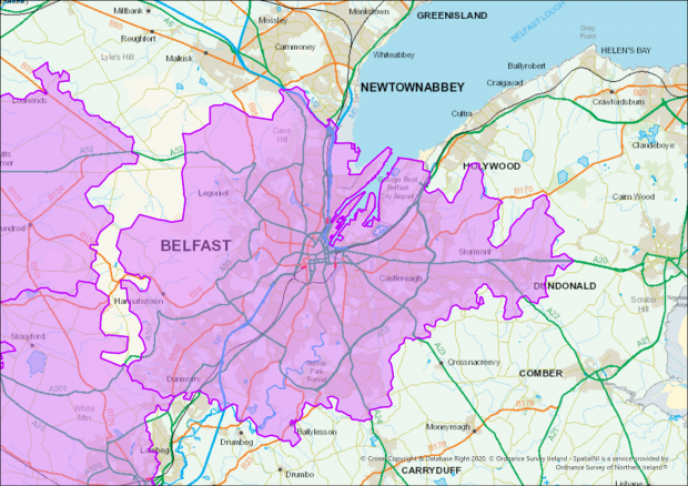
Ordnance Survey Northern Ireland (OSNI) were tasked by the Department of Health to identify all postcodes within COVID-19 restricted areas for the creation of new legislative regulations for Northern Ireland. Localised restrictions were being brought in as a response to …
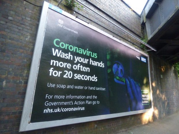
The COVID-19 situation we face today is a complex one. This shows how human and physical elements of Geography are vital to epidemiology. Geographic approaches are key to allowing us to locate, monitor, and plan for COVID-19. Here are some examples of what Government departments across have been doing.