OSNI creates COVID-19 Restrictions Map in response to localised restrictions
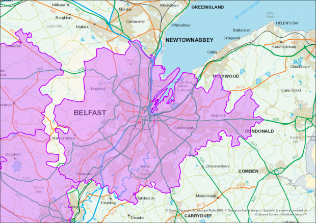
Ordnance Survey Northern Ireland (OSNI) were tasked by the Department of Health to identify all postcodes within COVID-19 restricted areas for the creation of new legislative regulations for Northern Ireland. Localised restrictions were being brought in as a response to …